Year : 1780
Cartographer : BELLIN
Dimensions(in cm) : 36 x 46
Colour : Uncoloured
Stock Reference : 1906.374
Year : 1780
Cartographer : LE FRANCQ
Dimensions(in cm) : 9.5 x 12
Colour : Hand coloured
Stock Reference : 2005.132
Year : 1780
Cartographer : BELLIN
Dimensions(in cm) : 23.5 x 17.5
Colour : Uncoloured
Stock Reference : 2101.231
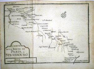
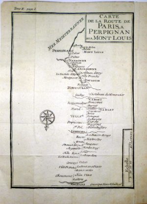
Year : 1780
Cartographer : NICOLAS DE BAILLIEUL
Dimensions(in cm) : 14.5 x 20.5
Colour : Uncoloured
Stock Reference : 2111.059
Year : 1780
Cartographer : MARIE DE BAILLIEUL
Dimensions(in cm) : 14.5 x 20.5
Colour : Uncoloured
Stock Reference : 2111.06
Year : 1780
Cartographer : NICOLAS DE BAILLIEUL
Dimensions(in cm) : 14.5 x 20.5
Colour : Uncoloured
Stock Reference : 2111.061
Year : 1780
Cartographer : MARIE DE BAILLIEUL
Dimensions(in cm) : 14.5 x 20.5
Colour : Uncoloured
Stock Reference : 2111.062
Year : 1780
Cartographer : NICOLAS DE BAILLIEUL
Dimensions(in cm) : 14.5 x 20.5
Colour : Uncoloured
Stock Reference : 2111.063
Year : 1780
Cartographer : NICOLAS DE BAILLIEUL
Dimensions(in cm) : 14.5 x 20.5
Colour : Uncoloured
Stock Reference : 2111.064
Year : 1780
Cartographer : MARIE DE BAILLIEUL
Dimensions(in cm) : 14.5 x 20.5
Colour : Uncoloured
Stock Reference : 2111.056
Year : 1780
Cartographer : NICOLAS DE BAILLIEUL
Dimensions(in cm) : 30 x 14
Colour : Uncoloured
Stock Reference : 2111.057
Year : 1780
Cartographer : MARIE DE BAILLIEUL
Dimensions(in cm) : 21 x 14.5
Colour : Uncoloured
Stock Reference : 2111.058
 Year : 1780
 Year : 1780
 Year : 1780
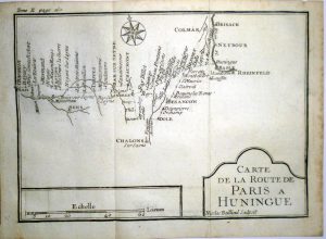 Year : 1780
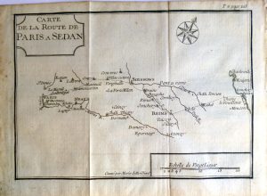 Year : 1780
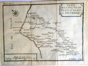 Year : 1780
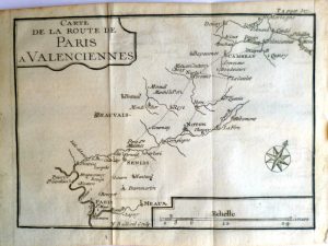 Year : 1780
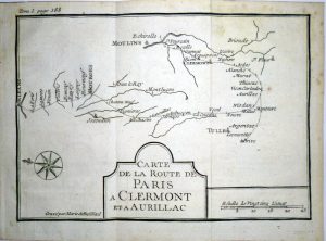 Year : 1780
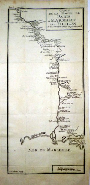
 Year : 1780