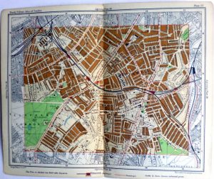
Year : 1910
Cartographer : PHILIP
Dimensions(in cm) : 15.5 x 19.5
Colour : Colour printed
Stock Reference : 2208.123
Year : 1910
Cartographer : PHILIP
Dimensions(in cm) : 15.5 x 19.5
Colour : Colour printed
Stock Reference : 2208.126
Year : 1912
Cartographer : HARRODS
Dimensions(in cm) : 7.5 x 11
Colour : Colour printed
Stock Reference : 2310.031
Year : 1912
Cartographer : HARRODS
Dimensions(in cm) : 8.5 x 10.5
Colour : Colour printed
Stock Reference : 2310.032
Year : 1912
Cartographer : HARRODS
Dimensions(in cm) : 7.5 x 10.5
Colour : Colour printed
Stock Reference : 2310.033
Year : 1937
Cartographer : GEOGRAPHIA
Dimensions(in cm) : 43 x 59
Colour : Colour printed
Stock Reference : 1901.001
 Year : 1910
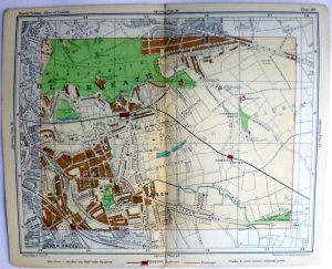 Year : 1910
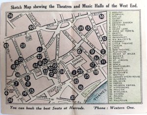 Year : 1912
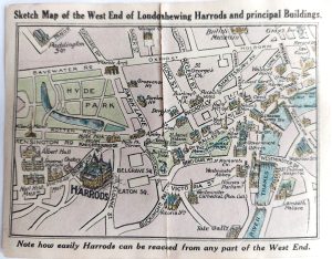 Year : 1912
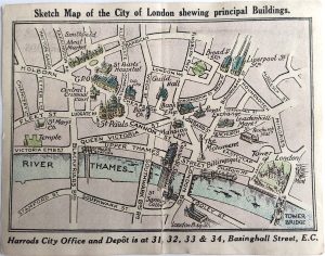 Year : 1912
 Year : 1937