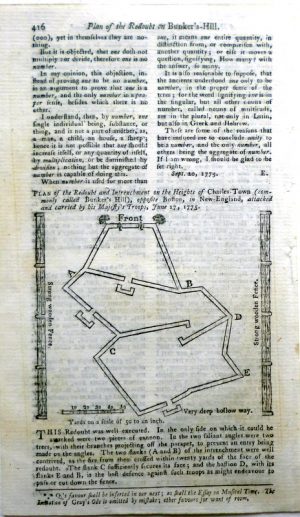
Year : 1775
Cartographer : ANON
Dimensions(in cm) : 10 x 10
Colour : Uncoloured
Stock Reference : 1810.149
Year : 1783
Cartographer : BONNE
Dimensions(in cm) : 31.5 x 21
Colour : Hand coloured
Stock Reference : 2003.236
Year : 1783
Cartographer : BONNE
Dimensions(in cm) : 21 x 31.5
Colour : Hand coloured
Stock Reference : 2003.226
Year : 1783
Cartographer : BONNE
Dimensions(in cm) : 21.5 x 32
Colour : Hand coloured
Stock Reference : 9610.664
Year : 1783
Cartographer : BONNE
Dimensions(in cm) : 21 x 32
Colour : Hand coloured
Stock Reference : 2202.111
Year : 1785
Cartographer : BOWEN
Dimensions(in cm) : 20 x 33
Colour : Hand coloured
Stock Reference : 0906.159
Year : 1788
Cartographer : BRION DE LA TOUR
Dimensions(in cm) : 22 x 27
Colour : Uncoloured
Stock Reference : 2404.051
Year : 1788
Cartographer : BONNE
Dimensions(in cm) : 34.5 x 23.5
Colour : Hand coloured
Stock Reference : 2307.225
Year : 1788
Cartographer : BONNE
Dimensions(in cm) : 34.5 x 23.5
Colour : Hand coloured
Stock Reference : 2307.226
Year : 1788
Cartographer : BONNE
Dimensions(in cm) : 34.5 x 23.5
Colour : Hand coloured
Stock Reference : 2207.223
Year : 1788
Cartographer : BONNE
Dimensions(in cm) : 34.5 x 23.5 each
Colour : Hand coloured
Stock Reference : 2010.086
Year : 1789
Cartographer : CROZAT
Dimensions(in cm) : 15 x 17.5
Colour : Hand coloured
Stock Reference : 2204.219
 Year : 1775
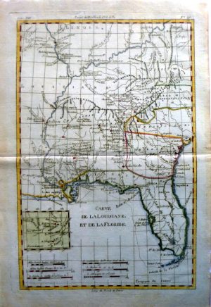 Year : 1783
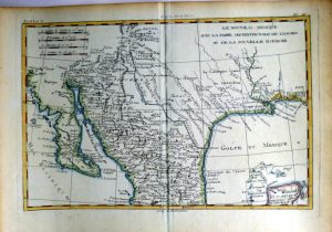 Year : 1783
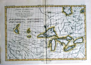 Year : 1783
 Year : 1783
 Year : 1785
 Year : 1788
 Year : 1788
 Year : 1788
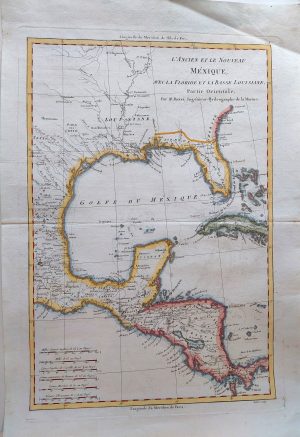 Year : 1788
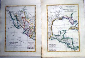 Year : 1788
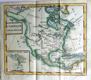 Year : 1789