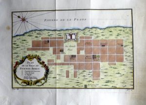
Year : 1757
Cartographer : BELLIN
Dimensions(in cm) : 18 x 27.5
Colour : Hand coloured
Stock Reference : 2211.002
Year : 1757
Cartographer : BELLIN
Dimensions(in cm) : 23.5 x 32
Colour : Hand coloured
Stock Reference : 2211.007
Year : 1757
Cartographer : BELLIN
Dimensions(in cm) : 19 x 28.5
Colour : Hand coloured
Stock Reference : 2211.001
Year : 1759
Cartographer : BELLIN
Dimensions(in cm) : 19 x 34.5
Colour : Hand coloured
Stock Reference : 1906.361
Year : 1759
Cartographer : BELLIN
Dimensions(in cm) : 19 x 27
Colour : Hand coloured
Stock Reference : 0602.268
Year : 1759
Cartographer : BELLIN
Dimensions(in cm) : 24 x 32.5
Colour : Hand coloured
Stock Reference : 1906.341
Year : 1769
Cartographer : KITCHIN
Dimensions(in cm) : 15 x 19.5
Colour : Hand coloured
Stock Reference : 2211.102
Year : 1771
Cartographer : BOWEN
Dimensions(in cm) : 19 x 29.5
Colour : Hand coloured
Stock Reference : 2311.154
Year : 1773
Cartographer : BELLIN/SCHLEY
Dimensions(in cm) : 22 x 27.5
Colour : Uncoloured
Stock Reference : 2206.274
Year : 1779
Cartographer : ROLLOS
Dimensions(in cm) : 17.5 x 22
Colour : Hand coloured
Stock Reference : 2201.005
Year : 1780
Cartographer : BELLIN
Dimensions(in cm) : 44 x 32.5
Colour : Hand coloured
Stock Reference : 2306.036
Year : 1780
Cartographer : BELLIN
Dimensions(in cm) : 17.5 x 34
Colour : Hand coloured
Stock Reference : 2306.035
 Year : 1757
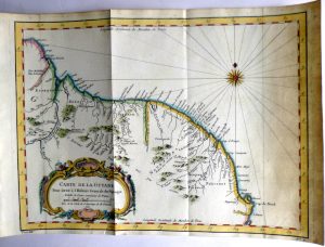 Year : 1757
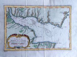 Year : 1757
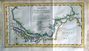 Year : 1759
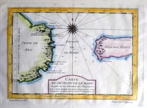 Year : 1759
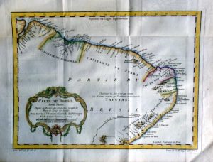 Year : 1759
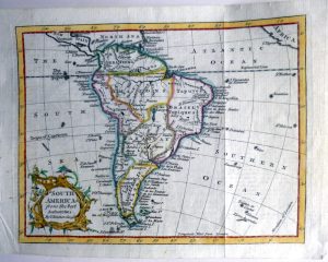 Year : 1769
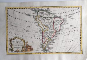 Year : 1771
 Year : 1773
 Year : 1779
 Year : 1780
 Year : 1780