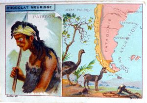
Year : 1913
Cartographer : ANON
Dimensions(in cm) : 6.5 x 10
Colour : Colour printed
Stock Reference : 1906.061
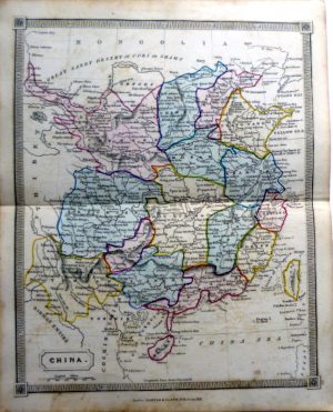
Year : 1880
Cartographer : ANON
Dimensions(in cm) : 10 x 6.5
Colour : Colour printed
Stock Reference : 1906.063
Year : 1913
Cartographer : ANON
Dimensions(in cm) : 6.5 x 10
Colour : Colour printed
Stock Reference : 1906.062
Year : 1662
Cartographer : ANON
Dimensions(in cm) : 31.5 x 36.5
Colour : Hand coloured
Stock Reference : 1902.101
Year : 1835
Cartographer : ANON
Dimensions(in cm) : 24 x 19.5
Colour : Full original colour
Stock Reference : 1912.205
Year : 1835
Cartographer : ANON
Dimensions(in cm) : 24.5 x 19.5
Colour : Full original colour
Stock Reference : 1912.203
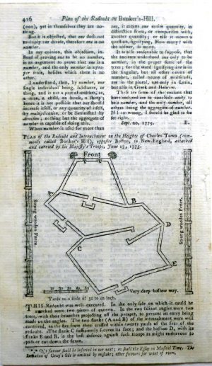
Year : 1778
Cartographer : ANON
Dimensions(in cm) : 16 x 26.5
Colour : Hand coloured
Stock Reference : 1406.206
Year : 1778
Cartographer : ANON
Dimensions(in cm) : 16.5 x 27
Colour : Hand coloured
Stock Reference : 1406.207
Year : 1778
Cartographer : ANON
Dimensions(in cm) : 16.5 x 27
Colour : Hand coloured
Stock Reference : 1406.208
Year : 1808
Cartographer : ANON
Dimensions(in cm) : 19 x 22
Colour : Hand coloured
Stock Reference : 2109.188
Year : 1810
Cartographer : ANON
Dimensions(in cm) : 20 x 24.5
Colour : Uncoloured
Stock Reference : 0706.062
 Year : 1913
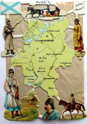 Year : 1880
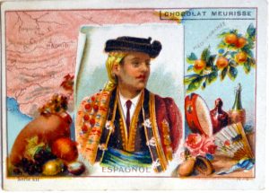 Year : 1913
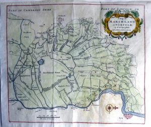
 Year : 1835
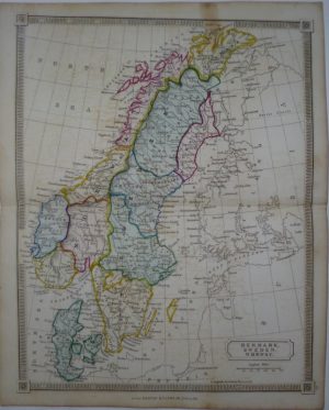 Year : 1835
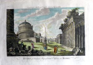 Year : 1778
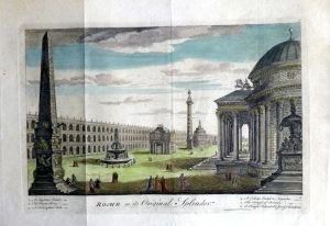 Year : 1778
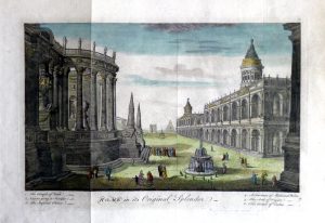 Year : 1778
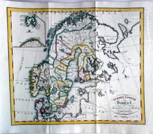 Year : 1808
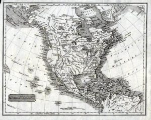 Year : 1810