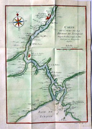
Year : 1751
Cartographer : BELLIN
Dimensions(in cm) : 21 x 14.5
Colour : Hand coloured
Stock Reference : 1210.543
Year : 1751
Cartographer : VAN LOON
Dimensions(in cm) : 14 x 18
Colour : Hand coloured
Stock Reference : 2008.191
Year : 1751
Cartographer : BELLIN
Dimensions(in cm) : 21 x 14.5
Colour : Hand coloured
Stock Reference : 2109.567
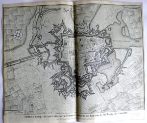
Year : 1751
Cartographer : BASIRE
Dimensions(in cm) : 37 x 49
Colour : Uncoloured
Stock Reference : 1602.351
Year : 1751
Cartographer : BASIRE
Dimensions(in cm) : 35.5 x 47
Colour : Uncoloured
Stock Reference : 1602.319
Year : 1751
Cartographer : BASIRE
Dimensions(in cm) : 36 x 48
Colour : Hand coloured
Stock Reference : 1805.254
Year : 1751
Cartographer : BASIRE
Dimensions(in cm) : 36 x 48
Colour : Uncoloured
Stock Reference : 1602.305
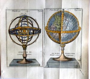
Year : 1751
Cartographer : BION (VAN LOON)
Dimensions(in cm) : 16 x 19.5
Colour : Hand coloured
Stock Reference : 2307.001
 Year : 1751
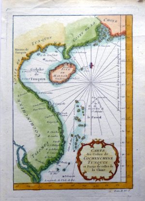 Year : 1751
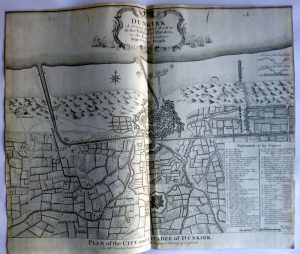 Year : 1751
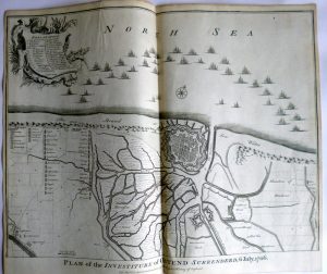 Year : 1751
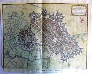 Year : 1751