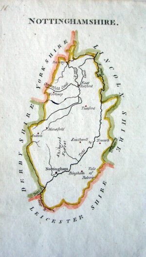
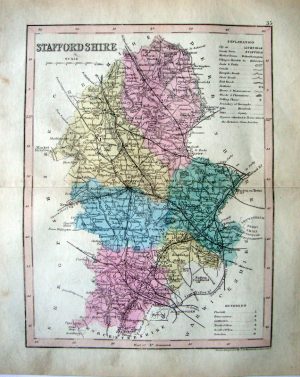
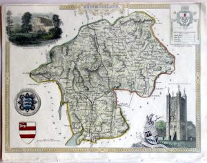
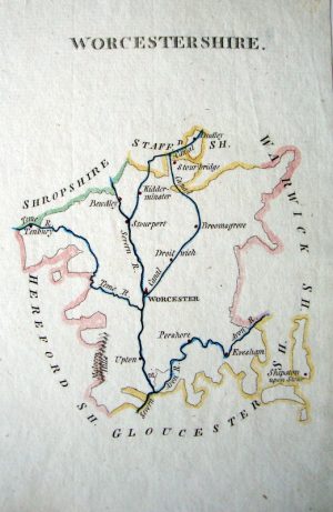
Hand coloured
Showing 1–12 of 743 results
-
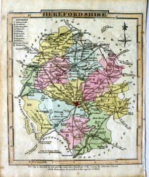
Year : 1824
Cartographer : GRAY
Dimensions(in cm) : 12 x 10.5
Colour : Hand coloured
Stock Reference : 9302.308 -
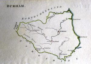
Year : 1795
Cartographer : AIKIN
Dimensions(in cm) : 10 x 16
Colour : Hand coloured
Stock Reference : 9302.288a -
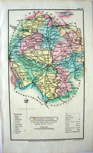
Year : 1808
Cartographer : CAPPER
Dimensions(in cm) : 18 x 10.5
Colour : Hand coloured
Stock Reference : 9301.415# -
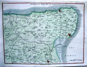
Year : 1812
Cartographer : CARY
Dimensions(in cm) : 16 x 21.5
Colour : Hand coloured
Stock Reference : 1101.205# -
Year : 1860
Cartographer : ARCHER
Dimensions(in cm) : 23.5 x 17.5
Colour : Hand coloured
Stock Reference : 1110.063# -
Year : 1790
Cartographer : AIKIN
Dimensions(in cm) : 11 x 19
Colour : Hand coloured
Stock Reference : M159# -
Year : 1795
Cartographer : AIKIN
Dimensions(in cm) : 16 x 11
Colour : Hand coloured
Stock Reference : M308 -
Year : 1837
Cartographer : FULLARTON
Dimensions(in cm) : 24.5 x 18.5
Colour : Hand coloured
Stock Reference : 1211.103 -
Year : 1795
Cartographer : AIKIN
Dimensions(in cm) : 16 x 9
Colour : Hand coloured
Stock Reference : M340# -
Year : 1860
Cartographer : ARCHER
Dimensions(in cm) : 23.5 x 17.5
Colour : Hand coloured
Stock Reference : 1110.069# -
Year : 1848
Cartographer : MOULE
Dimensions(in cm) : 21 x 26
Colour : Hand coloured
Stock Reference : 1011.072 -
Year : 1795
Cartographer : AIKIN
Dimensions(in cm) : 19 x 11
Colour : Hand coloured
Stock Reference : 9009.937#
